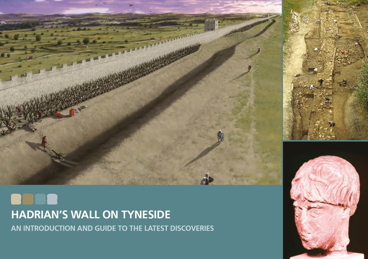
Hadrian's Wall on Tyneside Guidebook
Hadrian’s Wall stretches all the way from Wallsend, in eastern Newcastle, to Bowness, on the Solway Firth, a distance of 73 miles.
An introduction and guide to the latest discoveries

The most famous visible remains of the Wall are preserved in the remote upland landscape of Northumberland. The eastern 27 miles of the Wall, from urban Tyneside to the river North Tyne, are largely invisible, its remains mostly buried beneath modern highways and buildings. Yet there are important archaeological remains preserved beneath the ground, and the Wall has shaped the townscape of modern Tyneside.
Many of the most important archaeological discoveries about the Wall in recent times have been made in excavations in urban Tyneside, and the area contains three of the major forts of Hadrian’s Wall – Wallsend (Segedunum), Newcastle (Pons Aelius) and Benwell (Condercum), as well as South Shields (Arbeia), the Roman fort and supply-base at the mouth of the Tyne.
This book gives an introduction to Hadrian’s Wall and its legacy on Tyneside, explaining what we know about Hadrian’s Wall in these less-visited areas. It also describes discoveries made by WallQuest, a community archaeology project, supported by the Heritage Lottery Fund and others, and managed by Tyne & Wear Archives & Museums.
WallQuest aimed to improve the understanding and interpretation of Hadrian’s Wall on Tyneside, and to give local people, who wouldn’t normally have the opportunity, a chance to get involved in real archaeological work to find out more about the Wall.
Between 2012 and 2016, 550 individual volunteers from the local community have taken part and investigated a number of different sites, not just in Tyneside but throughout the eastern 30 miles of Hadrian’s Wall.
Download the Hadrian's Wall on Tyneside Guidebook (PDF, 10.4 MB)


